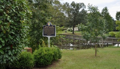
This historical marker is located beside Highway 28 at Thomaston’s Town Pond. It was erected April 2010 by The Alabama Tourism Department and the town …
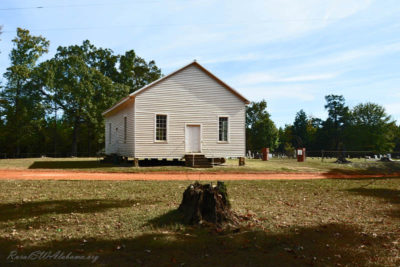
The Indian Springs Baptist Church is located in north Monroe County near the McWillams community. An “Indian Springs Baptist Church” historic marker …
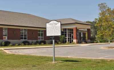
This historical marker is located on College Avenue at Jackson, AL in front of the Clarke-Mobile Gas District office (GPS coordinates 31.531688,-87.89 …
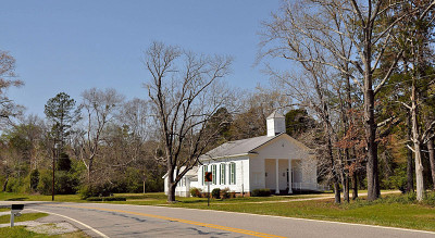
This church is located in the community of Jefferson in Marengo County. The church was established as Mt. Pleasant Baptist in 1820 and is among the ol …
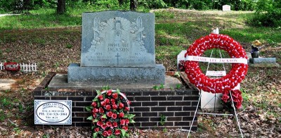
On February 18, 1965, the 26 year old Marion native, Jimmie Lee Jackson, was shot by an Alabama State Trooper while participating in a civil rights ma …
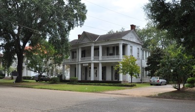
This was the home of John Tyler Morgan (1824-1907), one of Alabama’s most honored political and military leaders. Constructed in 1859 by Thomas R. Wet …
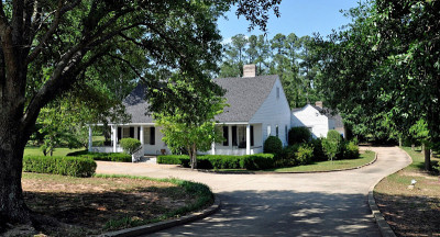
This was the home of Isham Kimbell, the only family member to survive the Kimbell-James Massacre which occurred in Clarke County near Whatley, AL in 1 …
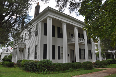
NOTE: This historic home was destroyed by fire on November 14, 2017. This Greek Revival house was built circa 1850 by Thomas Helm Lee, master builder …
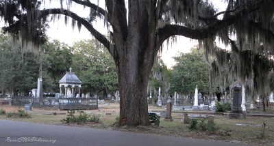
THERE IS GLORY IN THE GRAVES, reads the inscription on the Confederate Monument that stands in the center of Selma’s Live Oak Cemetery. Visitors who …
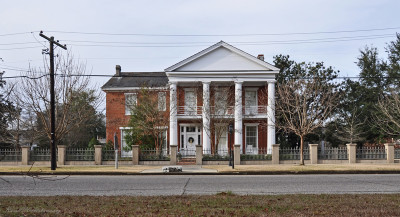
This Greek Revival style home was built around 1850 by Dr. Albert Gallatin Mabry, a prominent physician and member of the Alabama legislature. Dr. Mab …
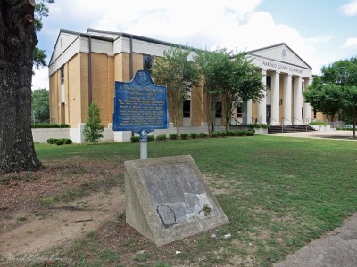
This historical marker is located in front of the Marengo County courthouse at downtown Linden (GPS coordinates 32.306410, -87.797716). The marker was …
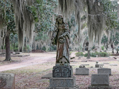
Shown are pictures of the monument that marks the grave of Mattie O. Blunt Keith (1858-1886). This is just one of many beautiful monuments that you wi …
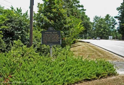
This historical marker is located beside highway 43 at McIntosh, AL in Washington County (GPS coordinates N31.265907,W88.031445). This marker provides …
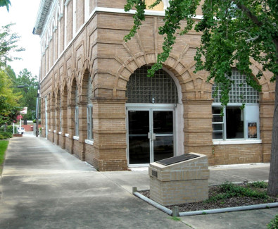
Pictured is a memorial to Vera Hall that is located at Livingston, AL across the street from the courthouse square on the corner of Franklin Street an …
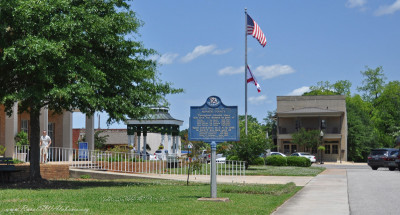
This historical marker is located at downtown Monroeville on the east side of the Courthouse Square (GPS coordinates 31.527497,-87.324094). Following …
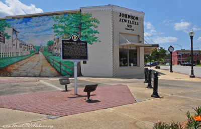
This marker is located at downtown Monroeville in the small park adjacent to Johnson’s Jewelers at the intersection of South Alabama Avenue and Claibo …
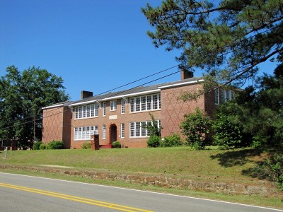
Moore Academy was founded in 1882 by John “Trotwood” Moore, who was an author, archeologist, and poet. The initial school was a two-story wood frame …
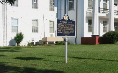
This historical marker located in front of the Perry County Courthouse in Marion. Following is the text on this historical marker: Side 1: MUCKLE”S RI …
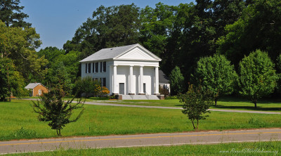
The Newbern Baptist Church was organized in 1848. The following year, the congregation built this two-story church. The upper floor has a large meetin …
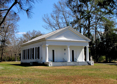
This is the oldest church in Newbern and one of the oldest Presbyterian Churches in this part of Alabama. The Newbern Presbyterian Church was organize …
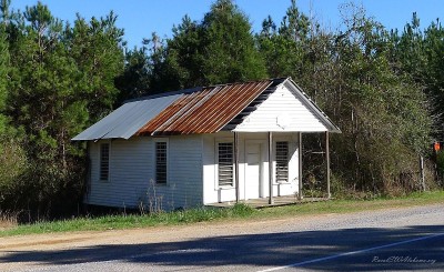
Joel Desaker Jones was born January 5, 1861, at Sweet Water (Exmore) and died June 28, 1946, at Dixons Mills. By profession, he was a surveyor, but hi …
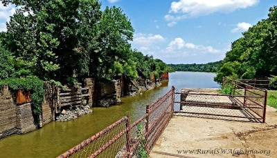
The slider above shows 8 pictures of this park. The Old Lock 1 Park is located at the remains of Old Lock 1 on the Tombigbee River between Jackson and …
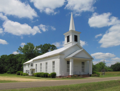
This church is located in Orrville, AL in Dallas County at the intersection of Mill Street South and Academy Street (GPS coordinates 32.30489,-87.2459 …
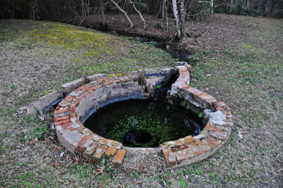
Cahawba, also spelled Cahaba, was Alabama’s first state capital (1820-1826). It became a ghost town shortly after the Civil War. Today, the old Cahawb …
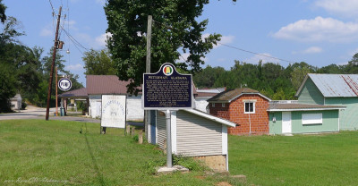
Peterman is a small community located about six miles northeast of Monroeville, AL. Shown is the “Peterman, Alabama” historical marker that provides d …
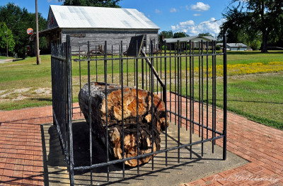
Approximately 40 years ago, the county shovel operator was digging in a gravel pit near Ward and hit something hard about 40 feet deep in the ground. …
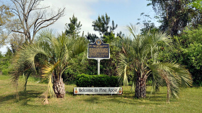
Pine Apple is a scenic community located on the east side of Wilcox County. The historical marker that’s shown is beside Hwy 10 on the west edge of Pi …

This historical marker is located on the north side of Broad Street, in the municipal park near the intersection of Broad and Dunn Streets, in Pine Hi …
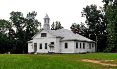
Prairie Mission, also known as Prairie Institute, was established in 1894 by the Freedmen’s Board of the United Presbyterian Church of North America, …
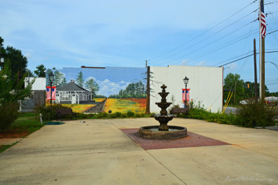
The Pine Hill mural celebrates the railroad’s contribution to the history of Pine Hill. It was painted by the artists; Jan Agee, Finn Sheffield, Jeann …
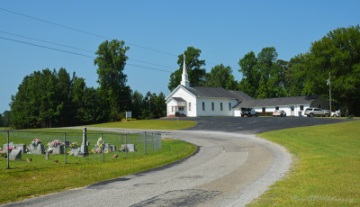
Shown is Shiloh Baptist Church that’s located in the community of Shiloh, AL in south Marengo County (GPS coordinates 32.102003, -87.765748). In front …
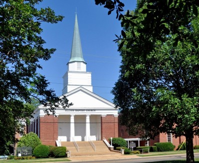
The Siloam Baptist Church was established in 1822. During the mid-19th century, it was Alabama’s most influential Baptist congregation and one of the …
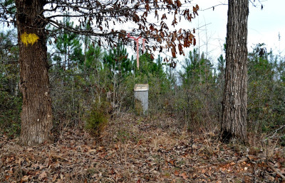
Fort Madison was a wooden stockade fortification in the southern section of Clarke County in the vicinity of the present-day community of Gainestown, …
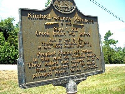
Fort Sinquefield was a wooden stockade fortification in Clarke County near the present-day community of Whatley, AL. It was one of the many forts bui …
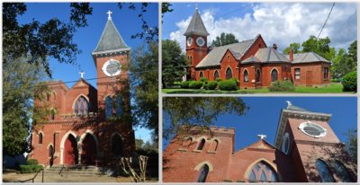
Catholicism was first introduced to this region in 1540 by the priests who accompanied Hernando DeSoto. The French Napoleonic exiles of the Vine and O …
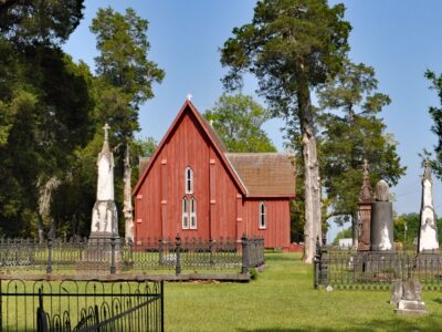
Episcopalians established a mission in this area in 1834 for settlers coming from the Atlantic Seaboard. St. Andrew’s Church was erected in 1853-1854. …
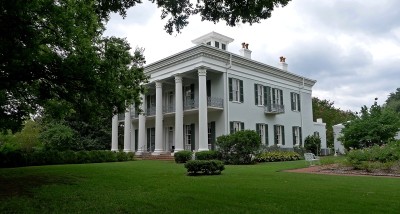
This mansion is one of the finest examples of Greek Revival neo-classic architecture in the Southeast. Construction began on this house in 1852 but wa …
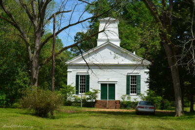
This Methodist congregation was organized circa 1837. The church absorbed the congregation from nearby Childers Chapel when it burned in 1842. The Met …
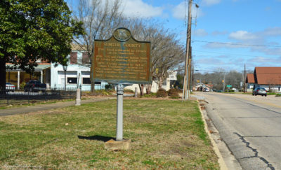
This historical marker is located beside Highway 11 at the Courthouse Square in Livingston (GPS coordinates 32.582701, -88.187940). The marker was ere …
