
This historical marker is located west of Thomasville on County Road 48 near the Bashi community (GPS coordinates N31.970778,W87.830889). It describe …
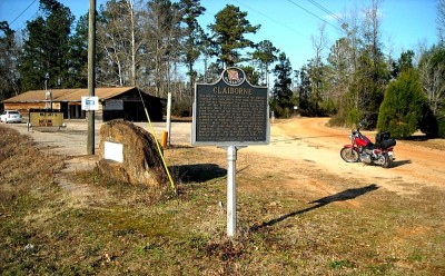
Situated near the Federal Road, this settlement began during the Mississippi Territory period with a ferry that transported settlers across the Alabam …
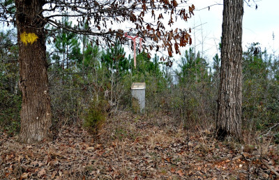
This historical marker identifies the former site of Fort Madison which was a stockade that was used during the Creek War 1813-1814. Fort Madison was …
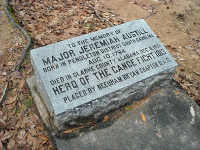
Jeremiah Austill is known as the Paul Revere of Clarke County. As a teenager, he volunteered to make a dangerous night ride to Mt. Vernon following th …
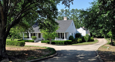
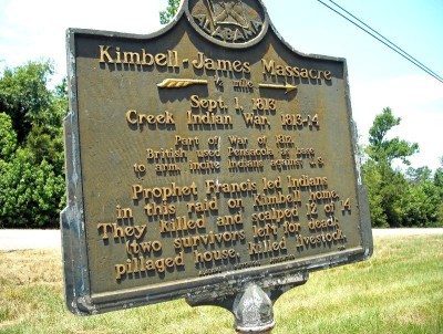
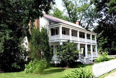
This was the home of Isham Kimbell, the only family member to survive the Kimbell-James Massacre which occurred in Clarke County near Whatley, AL in 1 …
Fort Sinquefield was a wooden stockade fortification in Clarke County near the present-day community of Whatley, AL. It was one of the many forts bui …
The Alabama River Museum is part of the Monroe County Heritage Museums. It is located on the east bank of the Alabama River at the Claiborne Lock and …
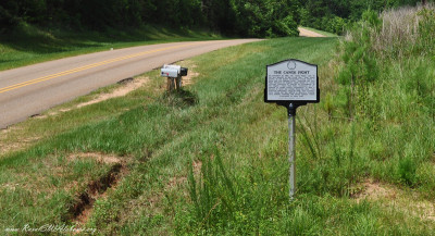
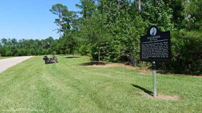
This historical marker is located beside Madison Road about three miles east of Gainestown in south Clarke County (GPS coordinates 31.445267, -87.6443 …
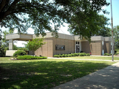
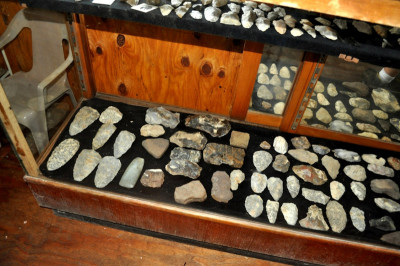
The Clarke County Historical Museum opened in 1986 as a project of the Clarke County Historical Society. It is located at downtown Grove Hill, AL in t …
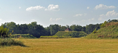
Called “The Big Apple of the 14th Century” by National Geographic, Moundville Archaeological Park was once the site of a powerful prehistoric communit …
The “new” town of St. Stephens, located approximately three miles south of the original St. Stephens town site, was selected in 1848 as the seat of go …
Tommy Hart lives in Carlton, AL which is located in the remote southern end of Clarke County near the forks of the Tombigbee and Alabama Rivers. He i …
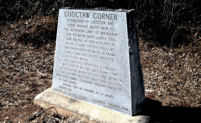
This marker is located in Choctaw County beside Co. Rd. 27 approximately 4 miles SE of Mt. Sterling just before getting to the Tuscahoma Landing on th …